Transport vision for Bratton Green
The specific long term transport vision for Bratton Green is “to create a well-connected, cohesive mixed use community, with well-designed public realm, that is able to make use of coherent, innovative, accessible, efficient and cost-effective transport solutions that prioritise the uptake of active travel and sustainable modes to access day to day local facilities, employment opportunities and education facilities".
Connectivity
The connectivity of the site will be maximised through provision of a series of access points that prioritise connectivity by sustainable modes (walking, cycling and public transport) and provide safe and suitable connections to the wider transport network. This includes three vehicle access points onto B5063, and two onto A442. These access points will be designed in accordance with relevant local and national design guidance and to accommodate all vehicles that will access the site.
Pedestrian and cycle access will be provided in multiple locations along the eastern, western and southern frontages to enhance the permeability of the site and connect into off-site active travel networks, including the Silkin Way. This will provide connectivity to existing residential areas and local facilities within 2km of the development, including Shawbirch Local Centre, Shawbirch Medical Centre, Costa Coffee and St Peter’s C of E Academy, complementing the facilities that will be provided on-site.
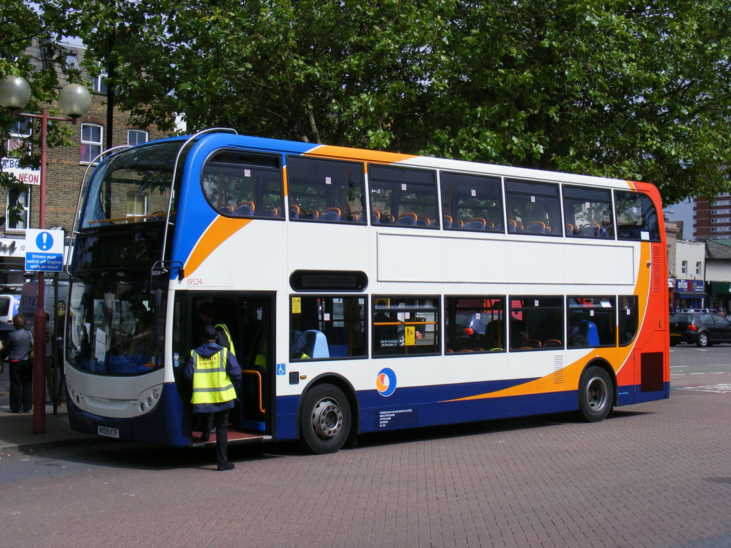
Buses
The on-site layout has been designed to facilitate the routing of buses through the development, with stops at regular intervals. These services will enhance connectivity from the site to key local destinations such as Telford and Wellington and may take the form of revisions to existing services and/or new services.

The access and movement network proposed for Bratton Green - click to enlarge
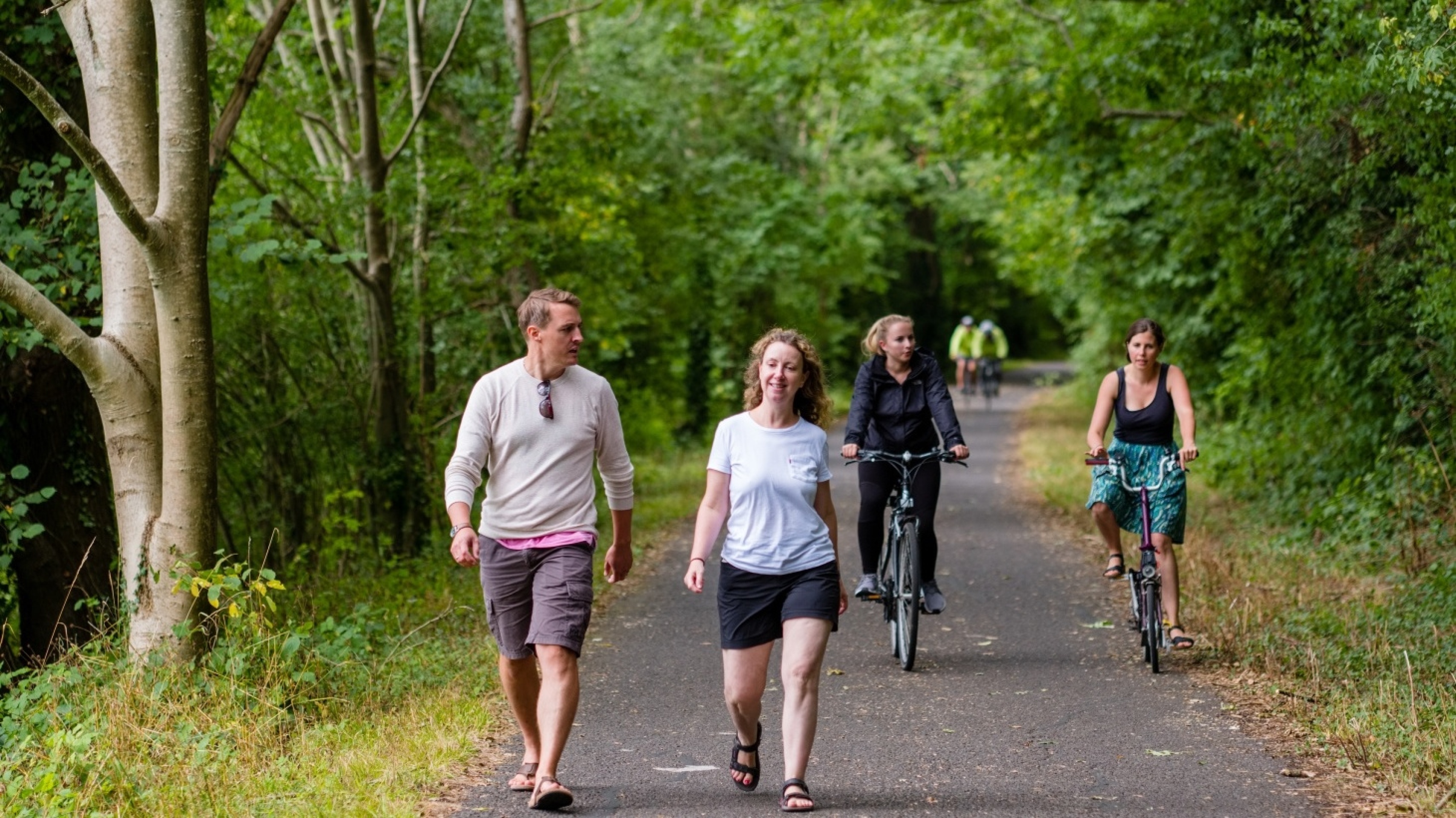
Active travel
A series of active travel (walking and cycling) routes will be provided across the development to facilitate high quality, direct connections for pedestrians and cyclists between key on-site facilities. This will include a mixture of footways and segregated cycle tracks on primary streets, off-road routes with shared footway/cycle ways and on-carriageway cycling along quieter residential streets. All on-site pedestrian and cycle infrastructure will be designed in line with relevant local and national guidance.
A review of off-site pedestrian and cycle infrastructure will be undertaken as part of the outline planning application, in line with local and national guidance and requirements of Active Travel England. This will focus on the key desire lines to/from the site to existing local facilities, residential areas and employment opportunities, as well as adjacent Sustainable Community sites identified in the Local Plan. As part of the access proposals, improved crossing infrastructure will be provided on the B5063 to provide connectivity onto the Silkin Way, a key route for pedestrians and cyclists to/from Wellington.
Transport Assessment and Travel Plan
A comprehensive assessment of the pedestrian, cycle, public transport and vehicle trips generated by the development will be undertaken as part of the outline planning application.
This will include an assessment of the impact of the additional vehicle trips on the local and strategic highway network undertaken in consultation with the local highway authority (Telford & Wrekin Council) and National Highways. As part of this assessment, mitigation measures for locations where the development is forecast to have a significant impact on the transport network or highway safety, will be identified. The findings of these assessments will be contained within a Transport Assessment.
A Travel Plan will also be prepared for the development, setting out a range of measures to support and encourage the use of walking, cycling and public transport alongside monitoring and management mechanisms.